Civil Lines Metro Station Summary
Civil Lines (J06) is an operational elevated station on Jaipur Metro Pink Line with 2 platforms. First train: 06:05 AM, last train: 23:05 PM.
Civil Lines Metro Station
सिविल लाइन्स
Amenities & Facilities
Commute & Landmark Distances
Transit connections and travel distances from Civil Lines to major Jaipur hubs:
| Destination Hub | Distance / Transit Time |
|---|---|
| Jaipur Junction Railway Station | 1 stop (Direct Metro) |
| Sindhi Camp Bus Stand | 2 stops (Direct Metro) |
| Hawa Mahal (Badi Chaupar) | 5 stops (Direct Metro) |
| Jaipur International Airport (JAI) | 15.8 km (5 metro stops + cab) |
| Jal Mahal (Water Palace) | 9.8 km (5 metro stops + auto) |
| MNIT Jaipur | 4.5 km (approx 12 mins auto) |
| JECRC University | 21.0 km (5 metro stops + cab) |
Last Mile Connectivity
Transport options available outside the station building gates:
- City Bus
- Taxi / Cab
- Auto rickshaw
- Nearby attraction access
Timings & Operation
Geo-Coordinates & GPS
Never Miss Your Stop Again!
Download the Jaipur Ride Android app to experience automatic location-based vibrating reminders.
Sightseeing Near Civil Lines
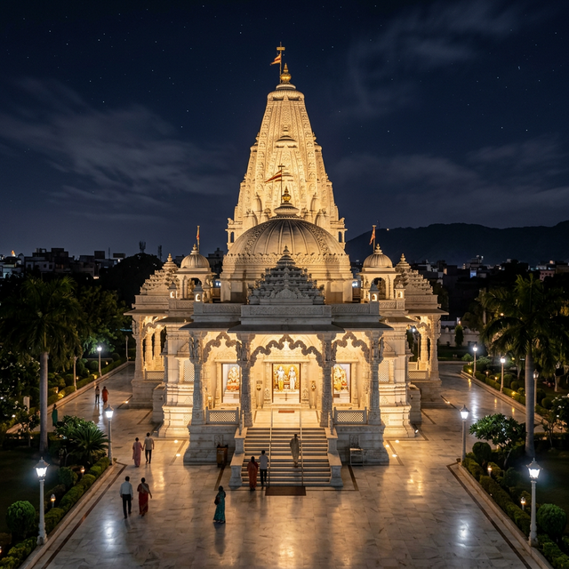
Birla Mandir
Birla Mandir - Moti Dungari Road, Tilak Nagar, Jaipur, Rajasthan 302004, India

SMS Hospital
SMS Hospital - JLN Marg, Jawaharlal Nehru Medical College Campus, Jaipur, Rajasthan 302004, India
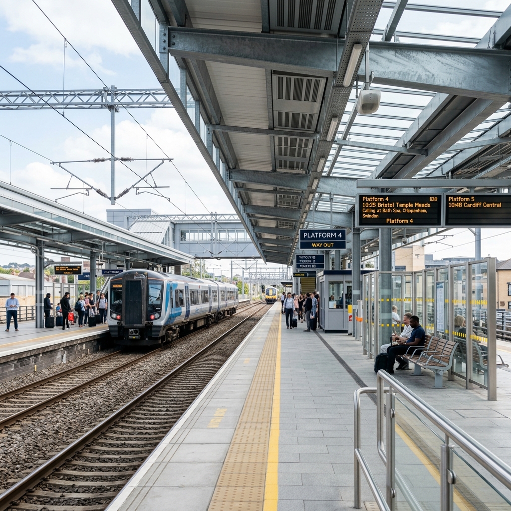
Sawai Mansingh Stadium
Sawai Mansingh Stadium - Jan Path, Ashok Nagar, Jaipur, Rajasthan 302005, India
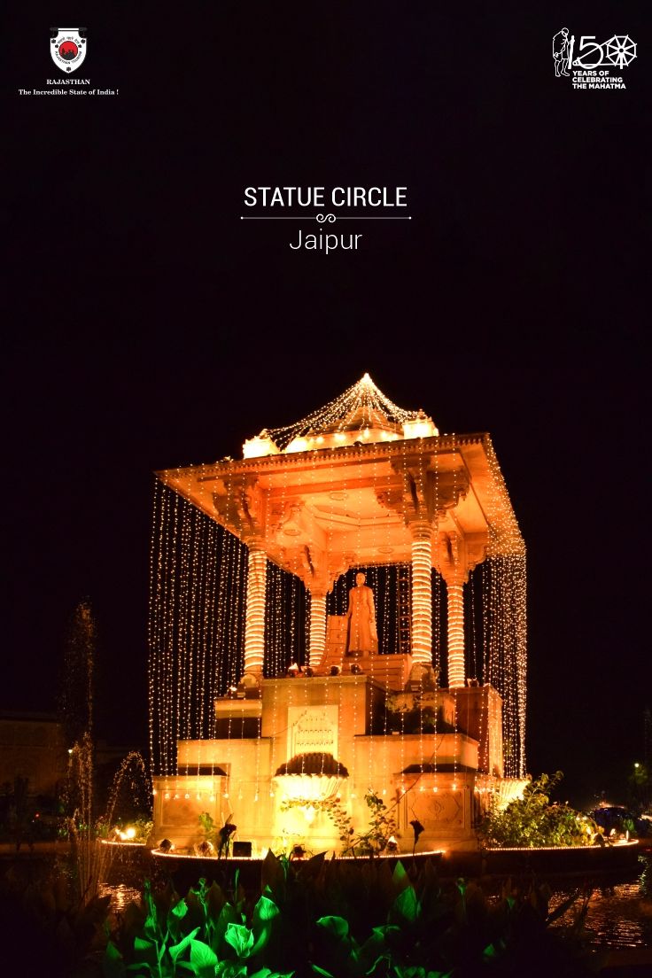
Statue Circle
Statue Circle - C-Scheme, Jaipur, Rajasthan 302001, India

Gaurav Tower
Gaurav Tower - Malviya Nagar, Jaipur, Rajasthan, India
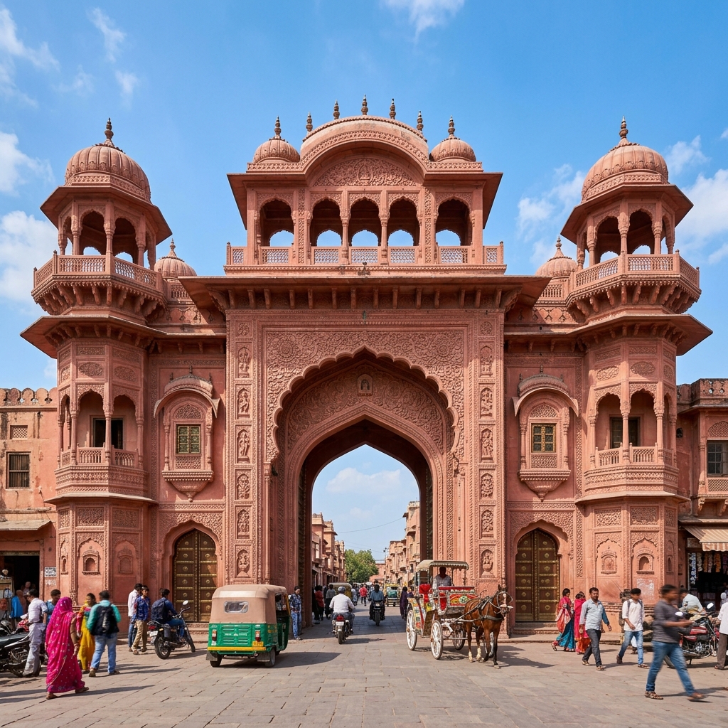
Rajasthan Legislative Assembly (Vidhan Bhavan)
Rajasthan Legislative Assembly (Vidhan Bhavan) - Pankaj Singhvi Marg, Jyoti Nagar, Lalkothi, Jaipur, Rajasthan 302005, India
Government Secretariat, Rajasthan
Government Secretariat, Rajasthan - Government Secretariat, Jaipur, Rajasthan 302005, India
Rajasthan High Court Bench, Jaipur
Rajasthan High Court Bench, Jaipur - High Court Campus, Jaipur, Rajasthan 302005, India

MNIT Jaipur (Malaviya National Institute of Technology)
MNIT Jaipur (Malaviya National Institute of Technology) - Jawaharlal Nehru Marg, Jhalana Doongri, Jaipur, Rajasthan 302017, India
SMS Hospital (Sawai Man Singh Hospital)
SMS Hospital (Sawai Man Singh Hospital) - Jawaharlal Nehru Marg, C Scheme, Ashok Nagar, Jaipur, Rajasthan 302004, India
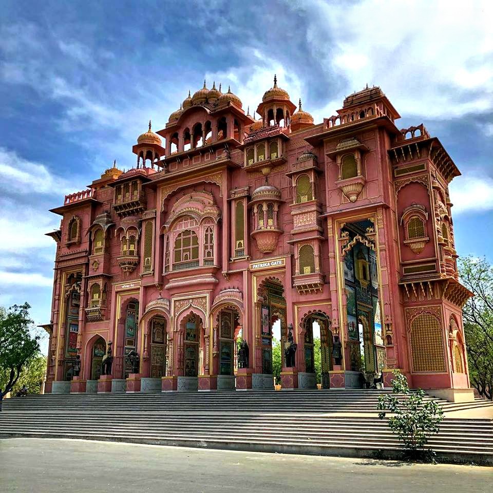
Patrika Gate (Jawahar Circle)
Patrika Gate (Jawahar Circle) - Jawahar Circle, Sanganer, Jaipur, Rajasthan 302018, India
World Trade Park (WTP)
World Trade Park (WTP) - Jawaharlal Nehru Marg, D-Block, Malviya Nagar, Jaipur, Rajasthan 302017, India
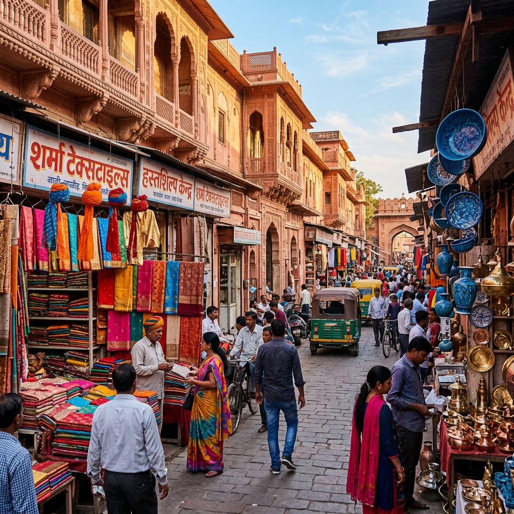
Raja Park
Raja Park - Raja Park, Jaipur, Rajasthan 302004, India
C-Scheme
C-Scheme - C Scheme, Ashok Nagar, Jaipur, Rajasthan 302001, India
FAQs About Civil Lines Metro Station
What are the GPS coordinates of Civil Lines Metro Station?
Civil Lines Metro Station is located at Latitude 26.9097222° N and Longitude 75.7813889° E. You can use these exact coordinates for Google Maps and GPS transit routing in Jaipur.
What is the first and last train timings from Civil Lines Metro Station?
Daily operations at Civil Lines Metro Station begin with the first eastbound/westbound train dispatch at 06:05 AM and conclude with the last train departure at 23:05 PM. Train arrivals average every 10 minutes during morning/evening peak office hours.
Is parking available at Civil Lines Metro Station?
Official JMRC parking is not directly available at Civil Lines Metro Station. Commuters can utilize nearby private parking stands, street parking zones, or take last-mile e-rickshaw transit.
How much is the metro ticket from Civil Lines?
Jaipur Metro Pink Line ticket prices range from ₹10 to ₹30 based on distance (number of stations traveled). Commuters using a Jaipur Metro Smart Card receive a 10% to 20% discount on every transaction. Smart cards can be recharged at any station window or online.